| Route 66 | Cities | Beaches |
|
|
Red
River Gorge |
Mammoth
Cave |
Cave Run |
Sheltowee Trace |
| River to River Trail (Illinois) | Cumberland Trail (Tenn.) | Knobstone Trail (Indiana) | Big South Fork | Pine Mtn |
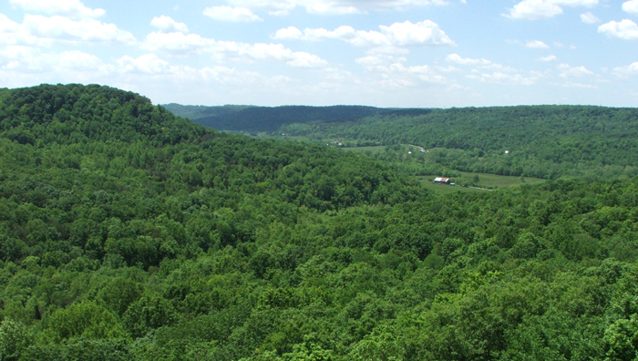
The Shawnee Trail is a set of entertwining loops that climb and drop through the 63,000 acre Shawnee State Forest and 1095 acre Shawnee State Park. This is the ancestral home of the Shawnee People, who lived and hunted here for 3,000 years. Called "The Little Smokies," this is the largest forest, the only true wilderness, and the highest elevation in Ohio. The Shawnee Trail does not offer the spectacular waterfalls, wierd rock formations or dramatic vistas of other long distance trails in the region. Its appeal is more subtle. This is one of the most beautiful intact forests in the East, with the full range of various trees. It looks exactly like it did when the Shawnee called it home from the time of the Pharoahs until 1800. It is an Oak Hickory Sassafrass Ecosystem, with a few stands of pine on the ridgetops where the soil is thin and sandy and there's little water. Coming down the midslopes are Maple, Basswood, Black Gum , Buckeye, Ash, Elm and Aspen. The well watered bottom lands include Wild Cherry, Sweet Gum, Beech, Walnut, Sycamore, Beech and Butternut. In the tight hollows where cool air and moisture can be held in you'll find Hemlock. The core loop is 35.7 miles. Contained within this is an 18.5 mile North Loop and a 25.8 South Loop. A 9.8 side loop takes you through the Shawnee Wilderness Area. |
 |
 |
This is a loop, so you don't have to worry about shuttles. The complete loop takes five days if you hike eight miles a day, although you could make it in four by upping your pace to 10 miles per day. Most people hike either the North Loop or the South Loop on a single trip and come back and do the other later. We highly advise using the Official Trailhead, which is on Ohio Route 125. There's an established parking lot here which rangers keep an eye on all night. There's also a checkin stand with maps and announcements. To reach the Trailhead, cross the Ohio River at Maysville, pick up Route 52 at Aberdeen, and follow it along the river eastward until you turn left on 125. Drinkable water is available at all but one of the campsites in the form of red pumps. These pumps tend to be down the trail somewhat from the actual camp. At # 6, you can purify water from the year round stream.
|
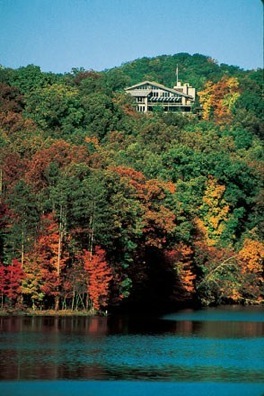
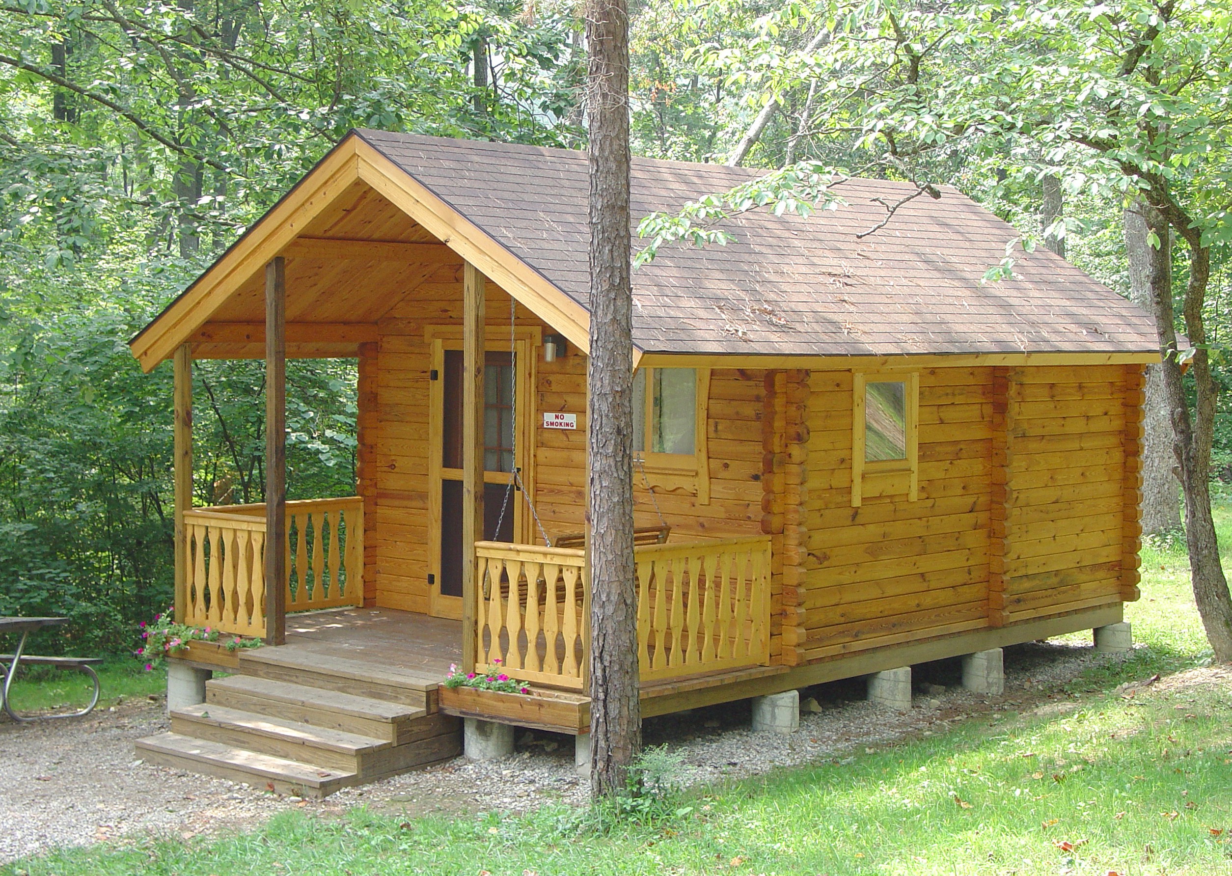
There is a series of eight campsites spaced every five miles or so, with the shortest hike between them two miles and the longest seven miles. The campsites are off the main trail down small side trails, so they're deep in the forest and quite secluded. It's not directly adjacent to the trail, but on your arrival and departure you might choose to spend the night over at Shawnee State Park, just a few miles down Route 125 from the Trailhead. There is a beautiful lodge (see photo top left) and three levels of cabins. Shown here at right is a Basic model, which is similar to those used by KOA. It has bunk beds and electricity but you shower at the communal bath house. There are Standard Cabins with kitchens and bathrooms. Tthere are luxury cabins. And there are nice campsites with hot showers, tables, fire rings and electricity. The restaurant in the lodge is very good. |
 |
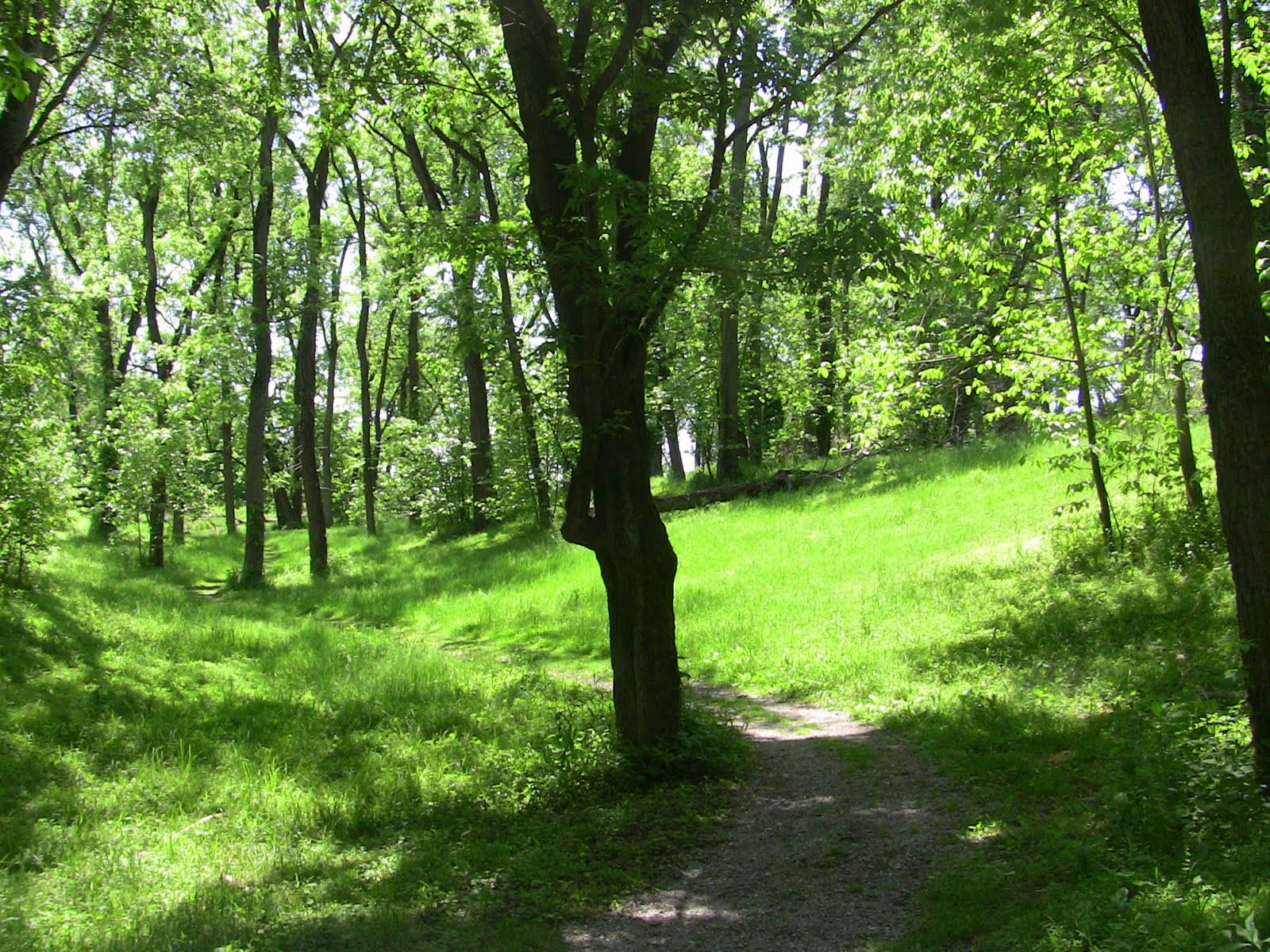 |
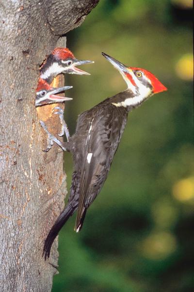
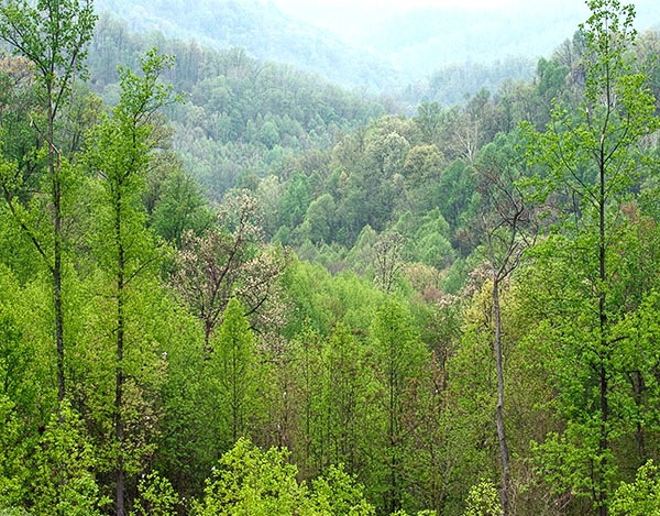
Most of the trail is in forest, but in April 2009 a lightning induced fire burned 3000 acres. This area is recovering rapidly, but the result is a large area of clearings and young forest with no underbrush, as seen at left. It was sad at the time but makes for beautiful hiking today. You may also see some parts of the forest that look particularly ragged. This is the result of a 2003 ice storm which brought down many trees and damaged hundreds of others. Expect to see deer grazing in those fire clearings. There are Black Bear and Wildcat here but they are almost never seen. You'll see their droppings on the trail or tracks at stream crossings. Porcupine, Raccoon, Groundhog, Rabbits, Fox, Owls, Red Tailed Hawks, Fence Lizards and various Toads and Frogs are plentiful. The hills here only go up 1200 feet but the trail does not usually bother with switchbacks, instead climbing the steep grades head on. This makes it a good early season conditioning trip for longer and steeper hikes later. |
|
|||
|