| Route 66 | Cities | Beaches |
|
| Hiking | South Rim | Boucher | Bright Angel | South Kaibab | Hermit | Grandview |
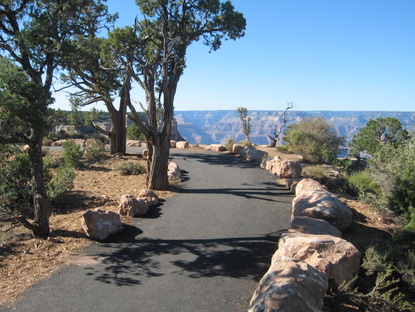
| The West Rim Trail extends nine miles from the Village to Hermit's Rest Visitor Center. It features nine observation decks, nine bus stops by shuttles running along the Hermit's Rest Road, three portable rest rooms, and two drinking fountains. There's an extensive fast food restaurant at Hermit's Rest. A massive renewal project in 2008 redid the road, trail, observation decks, railings, walls, and even landscaping for the first time since 1935. The trail itself varies. The final three miles, from Pima Point to Hermit's Rest, is state of the art. The eastern segment, from the Village to Hopi Point, was paved in 2008 and is in great shape. In between, the trail is not paved, and ranges from dirt to rock to gravel. It is often rough and close to the edge. So hiking the West Rim Trail is somewhat of an adventure but is still worth it for the great history and views. | 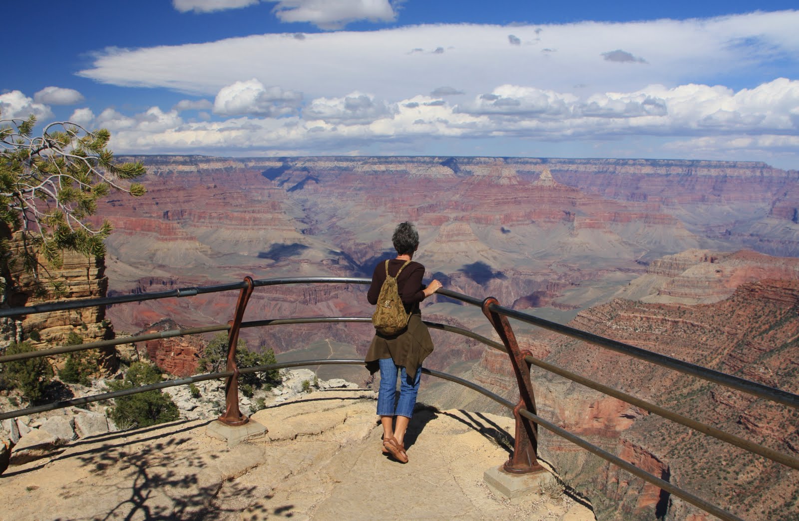 |
 |
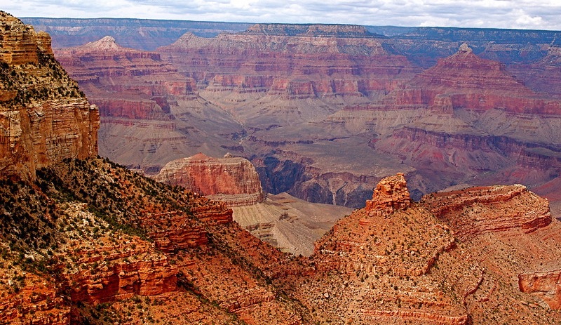
The West Rim Trail orients you to the Western Canyon, which is quite different from the Central and Eastern Canyon. One difference is that from Hopi Point on, the Colorado River comes into view. In the Central and Eastern observation points, you can't see the river. You know it's there, you can pick out exactly where it is, but you can't see it. From some of the West Rim points you can even hear it. A second difference is that the canyon narrows. You're a LOT closer to both the river and the north side. A third difference is that there's a lot more activity below you. There's one campsite below you in the Central section and one in the Eastern section. There are seven below you on the West section. And there's a whole web of backpacking trails down there. |
| To begin the West Rim Trail, take the Village Shuttle (blue) to the Bright Angel Lodge. Walk around or through the lodge, turn left, and walk past the Bright Angel Trailhead (the Kolb House), and just keep going. The trail will climb a rather steep hill and veer to the right toward Maricopa Point. The top two photos are at Maricopa Point. This photo at right shows the path out to Powell Point. It's the next observation point beyond Maricopa. The John Wesley Powell Monument is at the end of this path. | 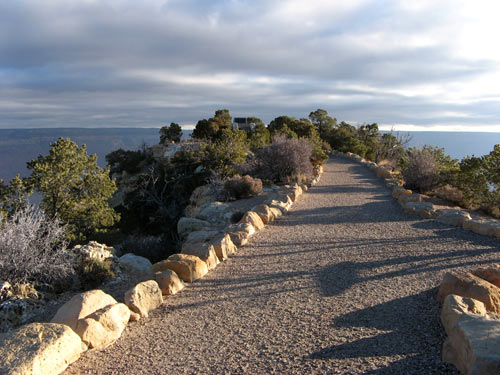 |
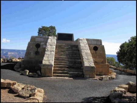 |
This is the John Wesley Powell Monument. Powell was a Civil War veteran who came West and became the first man to ever successfully navigate the Colorado River all the way through the Grand Canyon. His exploration of the Colorado River from its source in Wyoming to its mouth in California is one of the great adventures of the American West. |
| This is Hopi Point, about a third of the way. It's a favorite of photographers and artists, especially at sunrise and sunset. | 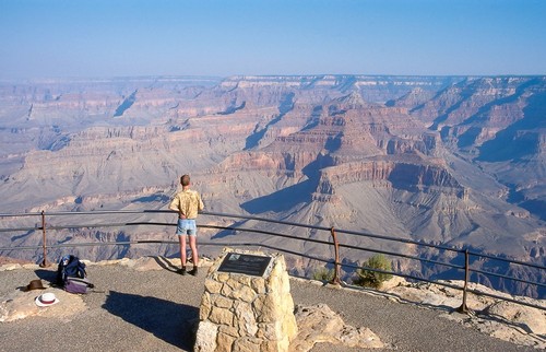 |
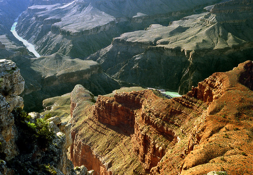 |
When you look West from Mohave Point this is what you'll see. Notice that the canyon has angled around to face the West here, which is why these are the best places in the park to view sunsets. That's Cope Butte out there partially blocking your view of the river. |
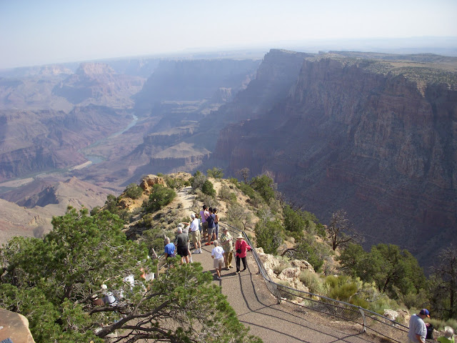
| The Abyss is one of the most photographed spots along the South Rim. It's where the South Rim Mule Ride stops for lunch. They ride over through the forest for two hours, then dismount here to rest, eat and take pictures. This is actually the head of the Monument Creek Valley. You can see Monument Creek carving its way toward the river in the center right. To its left is Cope Butte. A little to the left of where this photo was taken you look straight down into the canyon. The whole South Rim is full of breathtaking views but this may be the most heart stopping of all. Signs warn parents to keep a hand held with their young children. This is also one of the most photogenic views of the layering of the Redwall formation. | 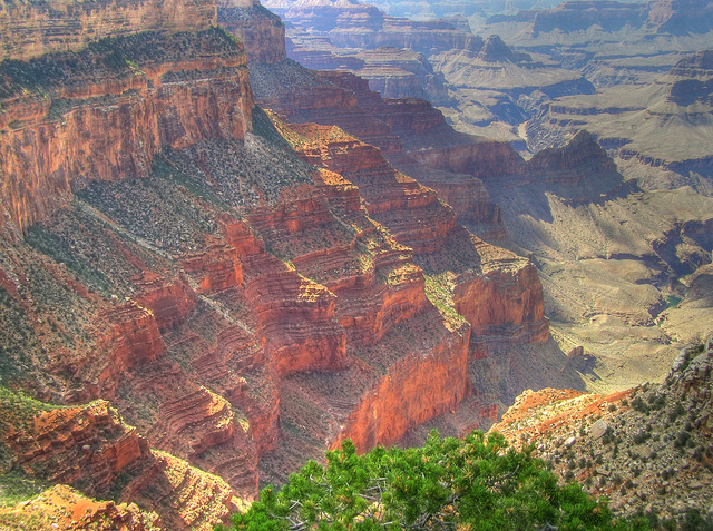 |
 |
From Pima Point on for the last three miles, the trail is wider, smoother and more level. This is the Greenway, which was totally reconstructed in 2008. Bikes and wheelchairs are allowed on the Greenway. |
| This ramshackle looking pile of rocks is actually Hermit's Rest. At first it appears to be an old prospector's home, but in fact it was designed by Mary Colter and built in 1914 by the Fred Harvey Company. Colter intentionally designed it to seem like that old prospector's home. Inside, it has a huge fireplace and other rustic features. There's a snack bar, gift shop and observation terrace. The views are incredible, but after hiking nine miles along the West Rim Trail most people have begun to take such views for granted. This is the furthest West stop by the shuttle buses, which turn around here for the run back to the Village. This is the end of the West Rim Trail and the beginning of the Hermits Trail and Dripping Springs Trail. | 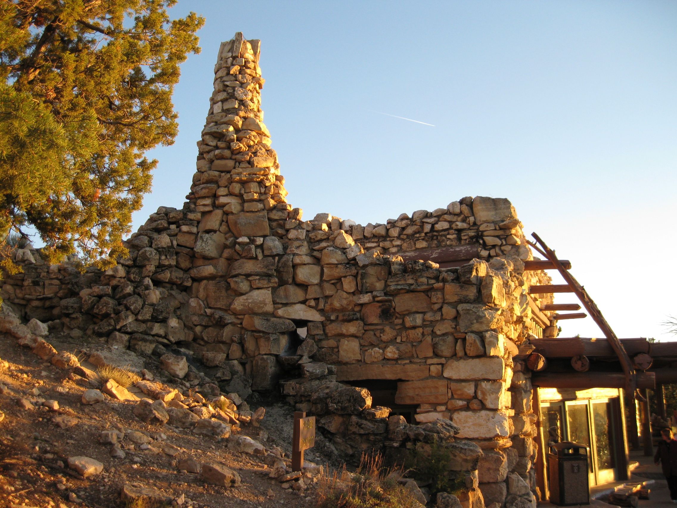 |
|
|||
|